Preamble
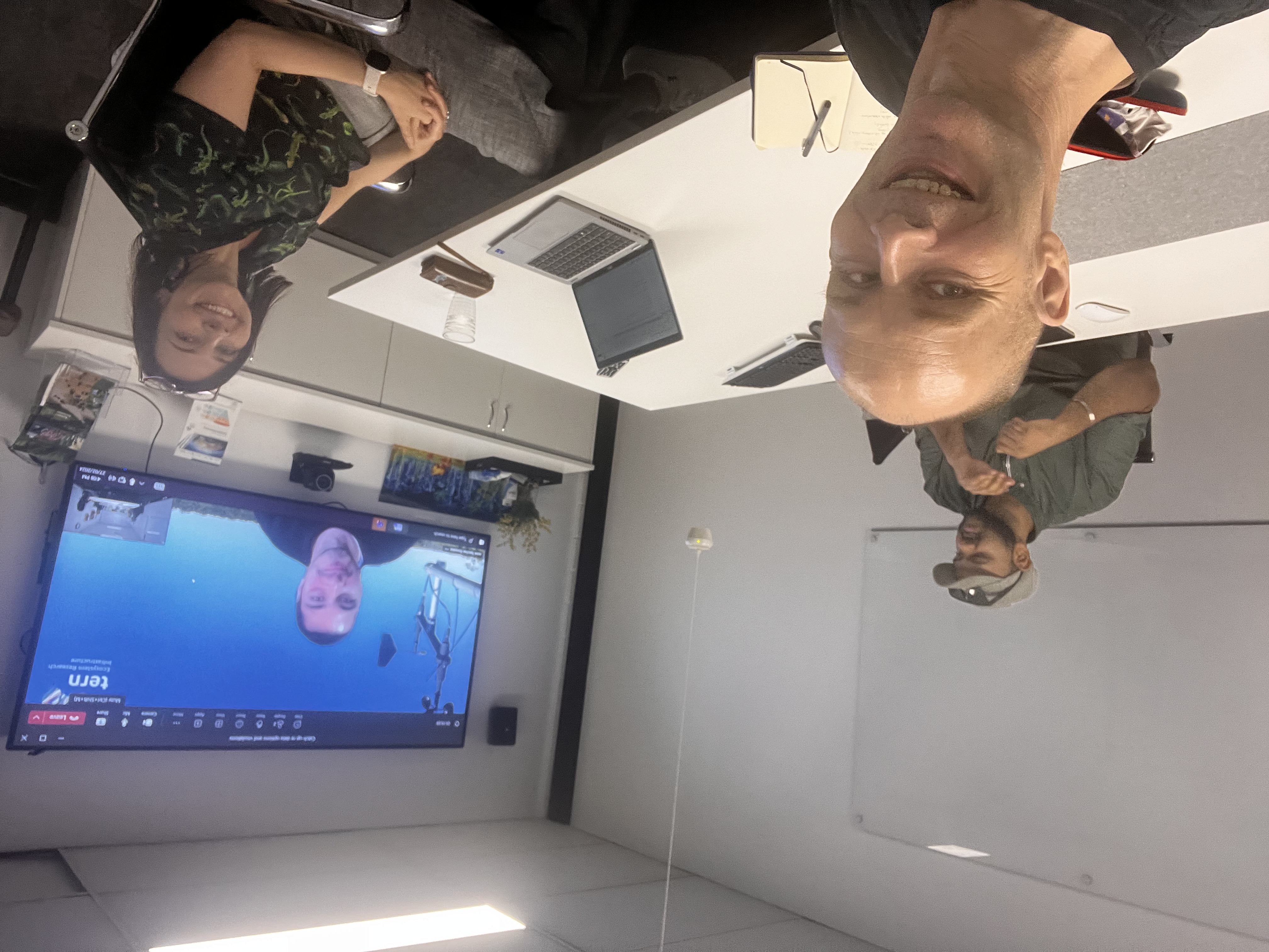
On 27th Feb, I accompanied one of my science collaborators Dr. Eleanor Velasquez – who is also our partner TERN’s (Terrestrial Ecology Research Network) Education Manager, to meet with her colleagues Arun Singh Ramesh, Lachlan Charles and Javier Sanchez Gonzalez <Zooming from Madrid> at TERN HQ @University of Qld Long Pocket, Brisbane.

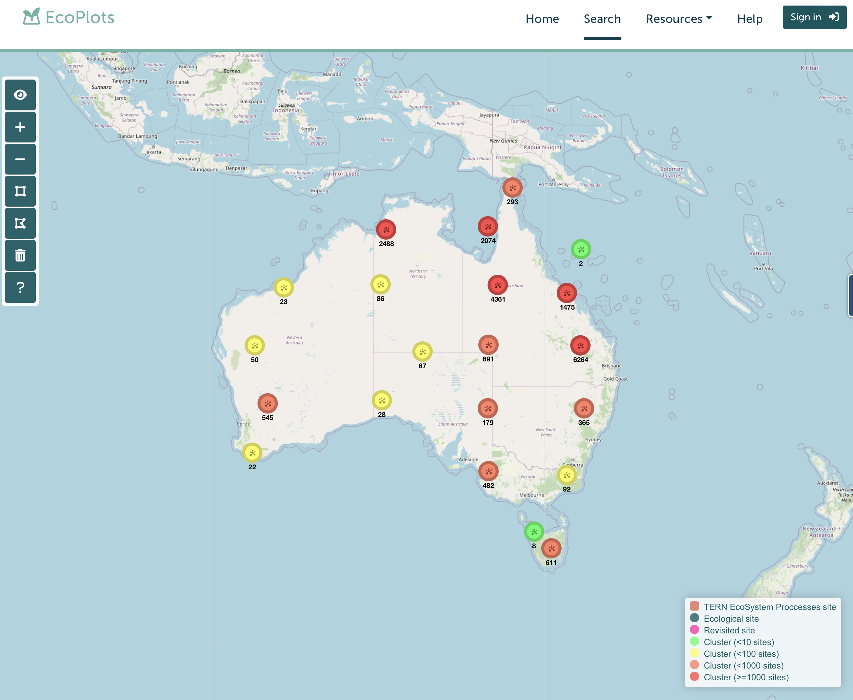
The meeting was primarily to discuss the data access and visualisation facilities that TERN offer.
We discussed all of the following data types that may be available to us going forward : –

TERN Landscapes / Land Observatory engages in Environmental reporting using remote sensing that is consistent across all sites. “TERN’s Landscape Monitoring platform conducts environmental monitoring and landscape observation using remote sensing techniques to characterise and monitor Australian ecosystems over time at a landscape and continental scale. The platform also undertakes specific modelling and synthesis activities (for clients) to extrapolate and interpolate from observational data to produce modelled data products”.

Data Types:
Soil – soil physicochemical attributes, lithology, soil organic carbon, pH, water availability, etc.

This area of their folio engages: Land cover dynamics and phenology (i.e. the study of cyclic and seasonal natural phenomena, especially in relation to climate and plant and animal life), Vegetation composition and diversity, Fire dynamics and impacts, Vegetation structural properties and Biomass, Field survey datasets, Airborne datasets, Corrected surface reflectance products and other environmental and landscape research data such as solar radiation, rainfall, and water vapour pressure.
TERN Ecosystem Surveillance
This element of TERN’s capacity involves a range of measurement and recording types – such as the use of LIDAR to scan environments and the collection of CO2 data from Eddy Covariance flux towers. This area tracks the direction and magnitude of change in Australia’s environments over time, through sampling and surveying flora, soil and some invertebrates.
•Plot-based survey – uses 1ha plot
plot-level (e.g. AusPlots)
Australia (EMSA) – DCCEEW
TERN Ecosystem Processes
TERN’s Ecosystem Processes platform monitors the environment at a high level of detail at a small number of representative sites/key Australian biomes (called Super Sites) – of which TERN is one – categorised as a peri-urban site.
Micrometerorological and land-surface and atmospheric processes – Sensor and flux data
•Vegetation CO2 and H2O fluxes
Ozflux-tern/ ecoimages.tern.org.au

Clearly these data set types offer a host of possibilities. The data set is predominantly numerical data although images also exist – and therefore suggests the need for computational analysis going forward.
At this stage the LIDAR data held, the historic data from SERF (e.g. the super site readings and the phenocams) and the atmospheric data may be of future interest to this project. I would expect further discussion in the future as more specific pointers to the need for such data may emerge. Thank you for the team at TERN and Dr. Eleanor Velasquez for making the visit so successful 🙂